


Atlas of the World (Large-Print Edition): A Clear, Easy-to-Read Reference for World Geography & International Affairs
Atlas of the World (Large-Print Edition): A Clear, Easy-to-Read Reference for World Geography & International Affairs
- 99% Issue-Free
- Secure Checkout
- $10K ID Protect
Security & Service
- Payment
Security - Privacy
Protection - Efficient
Shipping - Customer
Support
Detail
 Who is this book for?
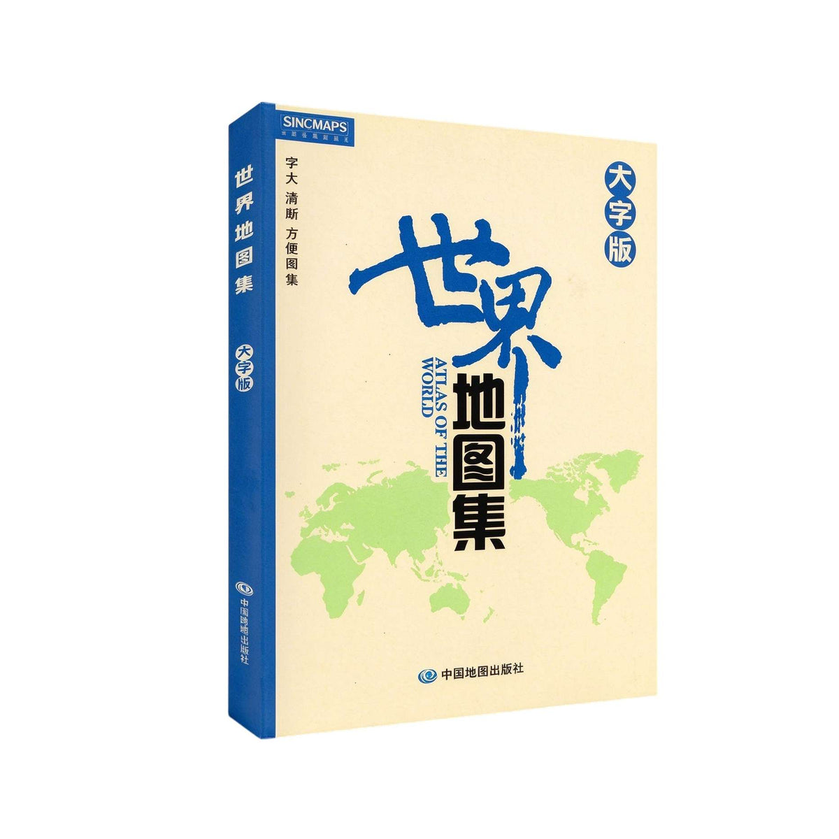
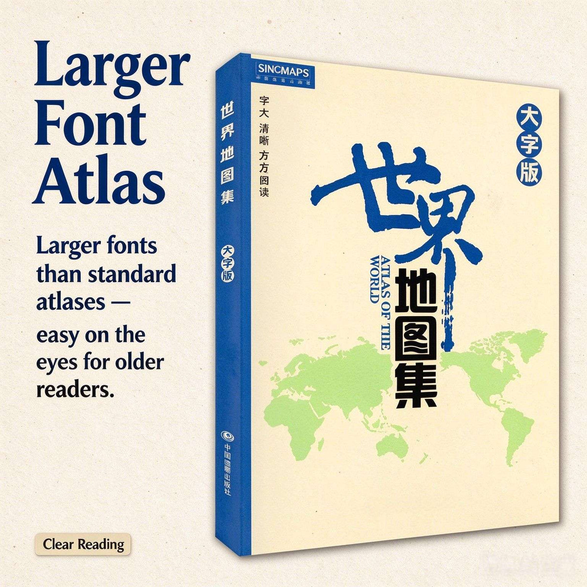
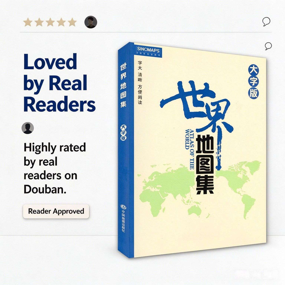
If you or a family member enjoy browsing maps and learning about countries around the world, this large-print edition is made for you. The fonts are noticeably larger than in standard atlases, with soft, easy-on-the-eyes colors — comfortable for older readers and great for kids learning geography.
What's inside?
232 pages published by Sinomaps Press, edited by Li Anqiang. The atlas is organized in layers: introductory maps covering the solar system, world terrain, transportation, and time zones; continental political maps; and 55 country maps forming the main body of the book, detailing national borders, capitals, settlements, transportation, waterways, and landforms. There are also 60+ city maps of major world cities, plus country profiles including flags, area, population, ethnic groups, language, religion, currency, history, and economy.
Why buy it?
Sinomaps Press is China's authoritative map publisher. This large-print edition has received five-star reviews on Douban, with readers noting "the large print is comfortable to read" and "I borrowed one from the library, then bought my own copy"-33. Comprehensive content, clear typography, and quality printing make it a reference book built to last — something you can pick up anytime, offering a fuller picture of the world than a phone screen ever can.


-
101 Stories for Foreigners to Understand Chinese People (English Edition): Real-Life Lessons on Culture, Etiquette & Getting It Right
Regular price £21.80Regular price£31.00Sale price £21.80DEAL -

24 Solar Terms (English-Chinese Edition): 24 Art Postcards Where Chinese Characters Come to Life
Regular price £19.70Regular price£28.00Sale price £19.70DEAL -
24 Solar Terms Fairy Tale (English-Chinese Edition): A Little Prince‘s Journey Through the Four Seasons
Regular price £18.30Regular price£26.00Sale price £18.30DEAL -
300 Song Lyrics (Chinese-English Edition): Xu Yuanchong’s Translation of Classic Ci Poetry
Regular price £21.80Regular price£30.90Sale price £21.80DEAL -
300 Tang Poems (Chinese-English Edition): Xu Yuanchong’s Rhymed Translation of the Golden Age
Regular price £21.00Regular price£30.00Sale price £21.00DEAL -
300 Yuan Songs (Chinese-English Edition): Xu Yuanchong‘s Translation of Classic Sanqu Poetry
Regular price £21.40Regular price£30.50Sale price £21.40DEAL -
80000 Words English-Chinese / English-English / Chinese-English Dictionary (Two-Color Edition): A Three-in-One Reference for Learners
Regular price £23.40Regular price£33.50Sale price £23.40DEAL -
A Bing Xin Reader (English Edition): Letters to Young Readers & The Little Orange Lamp
Regular price £21.90Regular price£35.00Sale price £21.90DEAL -

A Biography of Xuanzang (English-Chinese Edition): The Monk Who Walked to India, in Ten Scrolls
Regular price £23.50Regular price£34.00Sale price £23.50DEAL -
A Brief Introduction to the Belt and Road Initiative (English Edition): 111 Questions Answered in Plain English
Regular price £25.00Regular price£0.00Sale price £25.00


